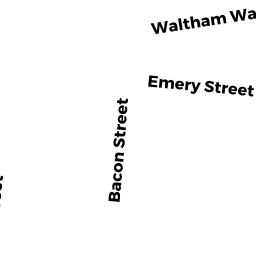
25 HAMMOND ST
Owner Information
MAGEE, SHANNON-LOUISE
25 HAMMOND ST.
WALTHAM, MA 02451-3620


Property Details
25 HAMMOND ST is classified as a Single Family Residential (Old style).
The primary structure on this property was built in 1900. There are 1,176ft2 of built area within this property. There is 1,176ft2 of residential/living space within this property. This property is listed as having 6 rooms.
25 HAMMOND ST is valued at $446,800. The land is valued at $259,700 and the structures are valued at $187,100.
The most recent deed for 25 HAMMOND ST is recorded at the local registrar in Book 30556, Page 543. 25 HAMMOND ST was last sold on Wednesday, August 18, 1999 for $0.
Assessment data from fiscal year 2022.
Flood Data
According to the FEMA National Flood Hazard Layer, this property does not appear to be in a flood zone. It may also be in an area not yet reviewed. Nonetheless, confirm this information prior to taking any action.
To view the flood hazards around this property, create a FEMA "Firmette" Map of the area around 25 HAMMOND ST.
Broadband Internet Providers
| Provider | Type | Bandwidth (mbps) | |
|---|---|---|---|
| Comcast | Cable | 1000 | 35 |
| RCN | Cable | 500 | 20 |
| RCN | Cable | 1000 | 20 |
| GCI Communication Corp. | Satellite | 0 | 0 |
| VSAT Systems, LLC. | Satellite | 2 | 1 |
| HughesNet | Satellite | 25 | 3 |
| Crown Castle Fiber | Fiber | 0 | 0 |
| Viasat Inc | Satellite | 100 | 3 |
| Verizon New England Inc. | DSL | 15 | 1 |
| Verizon New England Inc. | Fiber | 940 | 880 |
Broadband service provider data from December 2020.